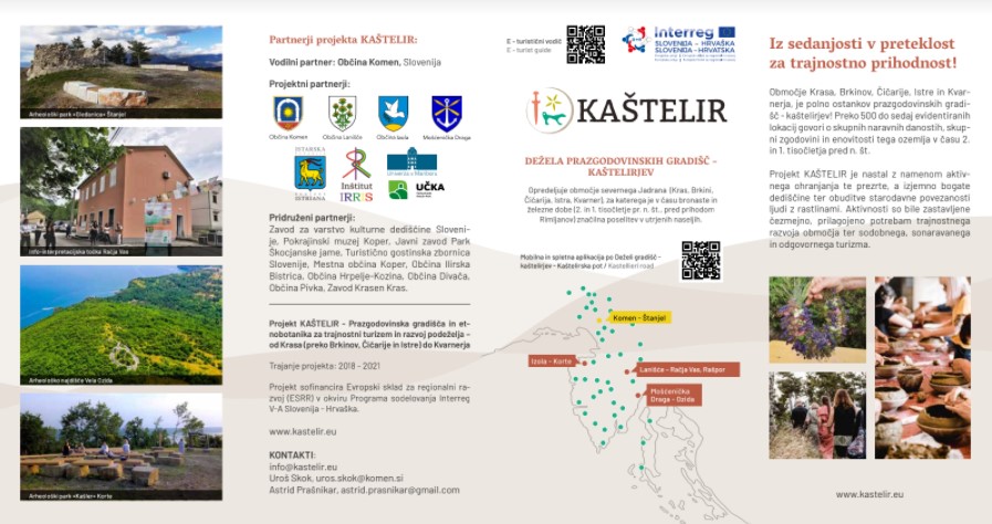
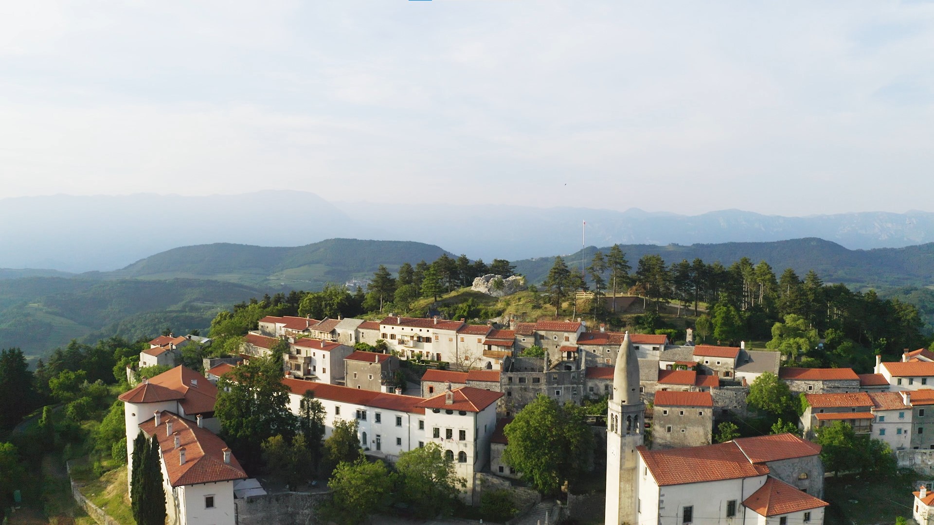
Štanjel (Municipality of Komen)
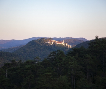
The old part of Štanjel, which is picturesquely spread on the Turn hill, in many ways represents the pearl of the Karst. Archaeological research has confirmed that life here takes place from the Bronze or Iron Age, more than 3000 years ago. The oldest traces were left here by the inhabitants of the prehistoric hillfort. Their heritage has so far been completely neglected; but with new acquisitions of the Kaštelir project, it enriches the offer of Štanjel and the Karst.
Štanjel, results and outputs of the project Kaštelir:
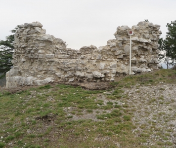
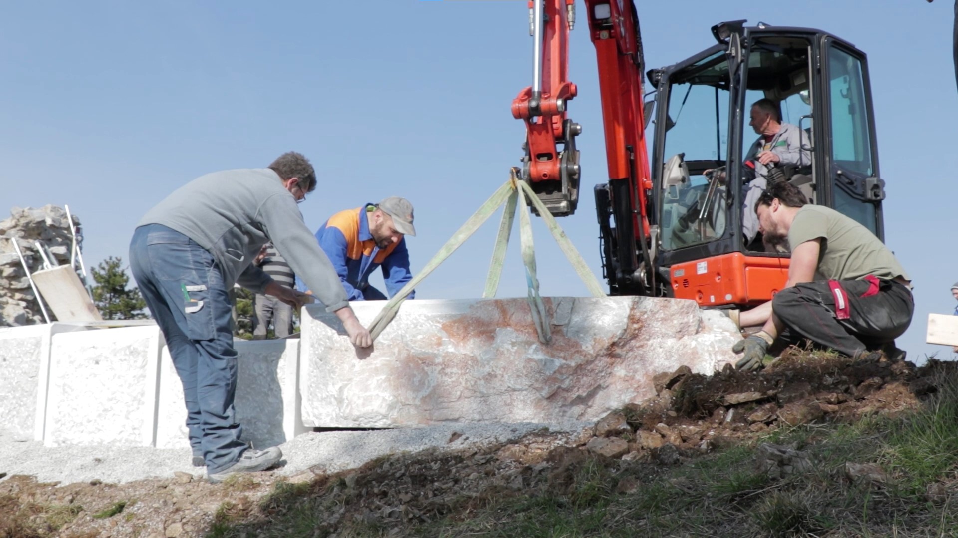
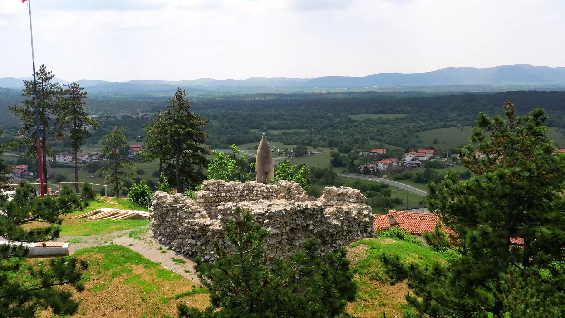
- ARCHAEOLOGICAL PARK GLEDANICA at the top of Štanjel's hill, with a stone structure symbolically embraces the top of the former hillfort and invites you to enjoy a unique view;
- EXHIBITION "HIDDEN ŠTANJEL" in the Kobdilj Tower (Tower at the Gate) reveals the secrets of Štanjel from the prehistoric to the Roman period, from the Middle Ages to the present day;
- THEMATIC GUIDED TOUR "THROUGH ŠTANJEL, THROUGH TIME" with the virtual boy Aviko, who reveals the hidden stories of Štanjel from prehistory onwards with the help of augmented reality (AR application);
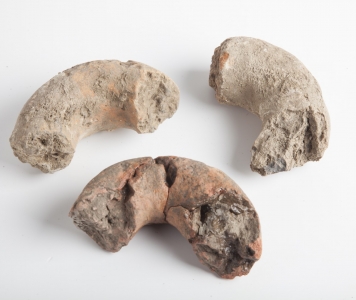
- TOURIST EXPERIENCE “MISSING PARTICLES - from archeological find to prehistoric bowl and tourist souvenir” and TOURIST EXPERIENCE “FROM EARTH TO BOWL - raw materials and a recipe for a prehistoric dish and gastronomic pleasure”, offer experiential knowledge of pottery and tasting of the prehistoric dish offered in a handmade, modern version of a prehistoric ceramic bowl;
- FESTIVAL GLEDANICA brings people closer to the life in hillforts with various activities, cultural and educational programs during summer solstices;
- BOTANICAL PATH OF ŠTANJEL in Ferrari's garden, at the top of Štanjel's hill, in the narrow streets of Štanjel, gives you the opportunitiy to get to know typical local present plant species.
The Circle of Komen's Hillforts
- CYCLING ROUTE through clustered villages of Karst leads to eight hillforts. These are connected by a 62 km long cycling route (demanding - 1050 m ascent and descent);
- BOTANICAL PATH FROM ŠTANJEL TO VOLČJI GRAD offers an introduction to ecosystems of Karst, typical local plant species and Karst phenomena.
Leaflet
Štanjel, prehistoric hillfort - Gledanica, Turn, On Turn
Time period: Bronze Age, Iron Age, the Roman period, Late Middle Ages
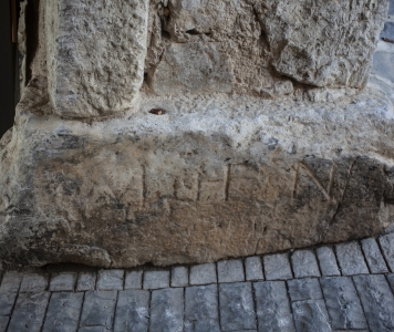
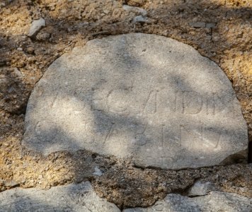
The prehistoric settlement occupied the whole upper part of the Štanjel hill located at the edge of a karst plateau directly above the Branica river valley. It controlled the better part of the Komen Karst as well as the passages through the Raša and Branica river valleys. Carlo Marchesetti identified the Štanjel hill as a hillfort in 1903, describing the 200-meter-long wall ruins as the only remnant of the prehistoric settlement. Today, only the narrow plateau below the peak of the hill to the north is called Gradišče, while the peak was named after the preserved tower – Gledanica. According to the finds of an archaeological investigation, the beginnings of the settlement date back to the Iron Age. The rich layers of the settlement and the remains of prehistoric buildings built of dry stone walls confirm that the hill was intensively inhabited in the first half of the 1st millennium BC, in the Early Iron Age. The remains of Roman architecture and numerous Roman finds on the Štanjel hill reveal that this was an important Roman settlement and a late Roman outpost. In the late Roman period, a fortress or tower stood on top of the hill and was used by the soldiers to control the passage to the Vipava Valley. The area of Gledanica provides good visual communication with the mountain pass on Hrušica (Ad Pirum), through which the main Roman road ran from Italy (Aquileia) to the Ljubljana basin (Emona) and further toward Pannonia. Some researchers believe that the tower on top of the hill is a remnant of a castle shaped like a tower, a fortress from the 13th or 14th century, which is why the tower was named Turn. A village settlement was formed below the tower, which gradually transformed into a fortified camp settlement.
The top of the Štanjel hill and the tower on Gledanica can be reached via a promenade from Štanjel. It goes past the Ferrari Garden, from where you climb up the Štanjel hill. From here, the view extends across the Raša river valley, hilly Vrhé Plateau, and Nanos Mountain to the east, across Vipava Hills to the Trnovo Plateau to the north and the Vipava Valley to the northwest, and across a karst plateau to the west and south.
Bibliography: Archives of the Institute for the Protection of Cultural Heritage of Slovenia, Nova Gorica Regional Office; Marchesetti, 1903, 49-50; Vuga, 1972, 3-12; ANSl (The Archaeological Sites of Slovenia), 1975, 141; Slapšak, 1974, 244; Harej, 1988, 256; Osmuk, 1995, 163-164; Osmuk, 1997, 207; Vuga 2000, 12-13; Osmuk, 2001, 128; Sapač, 2011, 246-252; Fabec, Vinazza 2012, 160; Fabec, Vinazza 2014, 595-602; Josipovič et al., 2015; Bratina, 2019, 47-50.
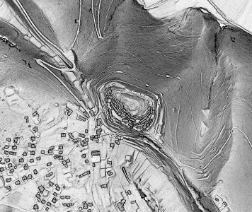 Representation on an SVF Digital Relief Model (LiDAR, Source: The Register of Slovene Cultural Heritage, RKD)